About Us
Vishwawalking explained
 Ratings Explained
Vishwawalks
Day walks
Funky Places
Future walks
Food
Gear
Get Lost
Good reads
Links
Right to Ramble
Site map
Contact us
Vishwawalking
Trans Canada Trail
East to West.
Tweed to Bonarlaw
1) Tweed (Hwy #37) to Hwy #62
Total: 14.5 km
Running Total (Tweed): 14.5 km
Highway #37 in
the east side of the road through to the
Lake (7.8 km from Tweed) to Douglas Road to Highway #62.
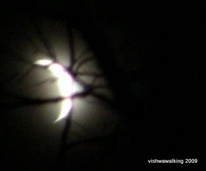
The moon, caught in the trees on a frosty night on the Trans-Canada Trail
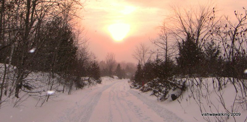
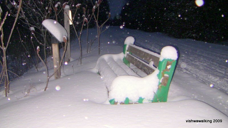
Click here or on any photo for more photos of this section
 This
is a varied part of the trail, running
through hardwood and softwood bush and marsh with fields providing an
almost
constant background on the south side and much of the north side.
This
is a varied part of the trail, running
through hardwood and softwood bush and marsh with fields providing an
almost
constant background on the south side and much of the north side.Little creeks run beside or under the trail at points. The marsh area is particularly interesting, as the old rail bed is considerably raised up and provides a good vantage point.
stretches don't get you down
There is an almost imperceptible incline from east to west and this walk is flat and easy. In the winter the snowmobiles pack the snow. A trail groomer used to pass over sections after snowfalls around 2010; I think that service, probably performed by a dedicated volunteer, no longer exists. Winter or summer, this is a very pleasant section of trail.
This bench faces the east end of Drag Lake. There are a few more along the way, as well as a "memorial picnic area." In the summer, Drag Lake is a good place to stop for a picnic.
Well-placed benches faces the lake where you can take a break and contemplate the lake, and there' a "memorial picnic area" on the east end of the lake.
There are some intriguing side trails off into the bush that deserve some investigation. On the map, there are also interesting names of settlements in times gone by: Buller, Buller Siding and Lodgeroom Corners. They are largely dots on the map now, but they must have some history worth digging out.
After Drag Lake, there are some really good views of the surrounding marshland. The old rail bed rides above it. Unfortunately, the trail has some extremely straight stretches here as well. After the marshland, the trail cuts through rock and you lose a bit of what is going on on either side for a bit.
wiped out!
Rating:
Easy
2) Highway #62 to Spring Brook Road
Total: 10 kilometres Running total (Tweed): 24.5 kilometres
Just over two kilometres from the highway, you'll notice a quaint gate on the north side, with a metal railroad crossing sign on the right side. The gate is locked and the land is private. Beyond the gate, a pleasant loop trail of just over 600 metres leads near a couple of houses; if you head immediately right (east) you will curve around north until you see the houses. You can avoid the houses by cutting through some brush to within a couple of dozen feet from a field, where you loop back south again across a tiny bridge and back to the gate. It's private land. Be discrete and steer clear of the houses. Your call.
Just before Wood Road, the trail curves slightly (yay!) and there's a pond to the south, with a berm running along its north side holding the water in. One of my topo maps notes a "liquids depot/dump" south of this pond around the juncture of Twiddy and Ray roads. I'm not sure what that is, but it doesn't sound good. I hope the pond is not connected to it. There's an area of water fenced in just off the tracks and a duck blind farther along the shore.
Immediately after you cross Wood Road, you will cross Twiddy Road. Here, a barrel holds one of the mini trail stop signs. At the top of the barrel is all kinds of garbage. Just after Twiddy Road you will reach the 120 kilometre point for the entire trail from Sharbot Lake
The next seven kilometres to Spring Brook Road is very interesting, with all kinds of terrain on either side. Unfortunately, after a nice little curve just after Twiddy Road, there's almost six kilometres of straight rail bed. Luckily, there was a mist floating about on the day I walked it. Otherwise the trail disappearing to a distant point would be depressing.
After a mix of wood and field and a well-kept barn off to the south, the trail rides high above marsh on the right and a wet field on the left, with a man-made creek running through the middle at the 121-kilometre point.
The trail then returns to a mix of hardwood and softwood as the bed levels with the rest of the land, with lots of wets spots in the forest at this time of year (March) at least, before returning to the forest-field combination. A couple of little two-track roads come in at points.
At roughly the 123-kilometre point, the trail meets with my Eastward Vishwawalking trek, which I did in 2005. off to the left is an old windmill I recognized from the last time I was here.
The trail bed of mud and sand is easy to walk but a tad mushy in March. Despite the wet, the trail in this section was pretty dry. The trail crosses Squire Road and takes a little curve to the north before it reaches Spring Brook Road at about two kilometres east of Spring Brook.
Rating:
EasyFurther on, they refer to a character of Buchner’s, Lenz, who feels cloistered by his pastor who keeps him physically confined while forcing him to situate himself “socially, in relationship to the God of established religion, in relationship to his father, to his mother. While taking a stroll outdoors, on the other hand, he is in the mountains, amid falling snowflakes, with other gods or without any gods at all, without a family, without a father or a mother, with nature.”
But enough of
the literary musings; the day was a fine one to affirm one’s animal
nature and to make some
animal connections.
The rail bed is
very straight, but there’s a beautiful mix of countryside here: fields,
woods
and marsh. I saw a whole array of animals coming out to enjoy the
weather:
ducks, geese, blackbirds, red-wing blackbirds, a partridge strutting
right
across the trail, a turkey vulture sitting on a barn gracefully gliding
off to
check me out, and a couple of smaller birds I can’t identify. A horse
farm on the
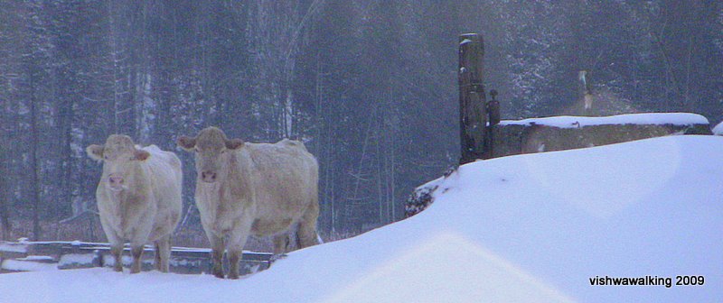
east side kicked things off at Spring Brook Road, followed shortly by a
bunch
of cattle lapping up the sun on the west side. On the east side, an
interesting
canal system was draining the field.
There were at
least two old wooden
boxes along this stretch that once had power connected to them, but now
only the posts and
disintegrating wooden cases remain.
Nearing
The rail bed then crosses
Pause at #14 to take a look at St, Mark's Anglican church. It was built in 1933. An earlier St. Marks was built in the 19th century, perhaps on the same site, or perhaps a short distance away. I could find no definitive online history of the church. At Hastings County Atlas, a note beside a photograph of the church reads: "Built in the Revival Gothic style of the latter half of the 19th century, the building features random-coursed ashlar walls, lancet arches over window and door openings and a tower with a crenellated parapet." (My apologies, the link from which I took this quote is no longer available and I can't find an update.) A photograph, in the Toronto Public Library's digital collection, purportedly from around 1910 shows a church virtually identical to the present one—so much so, I'd question either the cornerstone (1933) or the library's dating of the old picture.
A further .8 km. from #14 gets you to the Hastings Heritage Trail, which comes up on the left from the south at an angle and heads off to the right. Our westward bound journey on the Trans Canada makes a brief switch here to the southbound Hastings Heritage Trail so we can connect with the westbound Trans Canada into Campbellford.
Click on the Bonarlaw to Campbellford section to continue to the next section of the Trans Canada Trail.
Easy| The pros: It's easy. There's lots to see. Beautiful and varied countryside. Easy planning (lots of crossroads). |
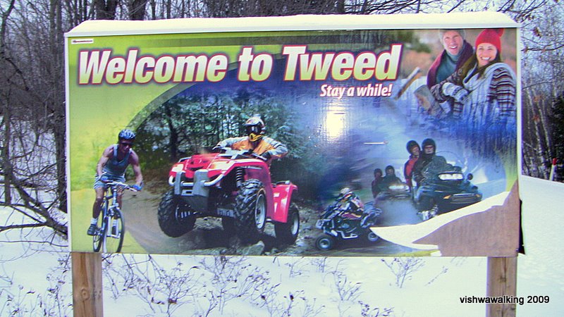
The cons: Dangerous ATVs and snowmobiles. Foul, unhealthy smell when vehicles pass. Very straight. The gravelly walking surface is monotonous. |
Click here or on any photo for more photos of this section
Page created February 3, 2009
Updated: September 6, 2021