About Us
Vishwawalking explained
 Ratings Explained
Vishwawalks
Day walks
Funky Places
Future walks
Food
Gear
Get Lost
Good reads
Links
Right to Ramble
Site map
Contact us
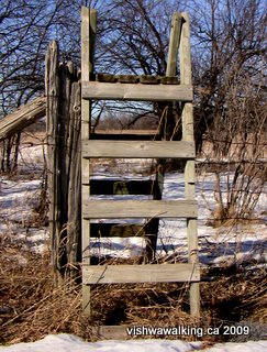
A style on Alton Road at the beginning of the northward trail across fields to Freeman Road.
February 16, 2009
Vishwawalking
Rideau Trail
Photos: Kingston to Frontenac Park
1. Kingston
2. North of Kingston
3. Sydenham to Gould Lake Conservation Area
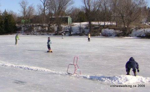
Left:Skating on Sydenham Lake. A short side trip toward
the lake at Point Road is a must.
February 16, 2009
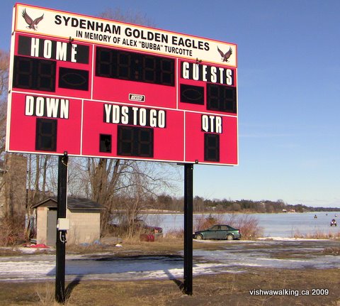
The Sydenham Golden Eagles have their football field by the lake, just off Point Road.
February 16, 2009
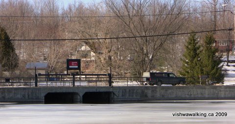
Sydenham Lake dam, looking east,
standing on
the lake,
and looking east at the start of Millhaven Creek (as seen from the George
Street bridge).
February 16, 2009
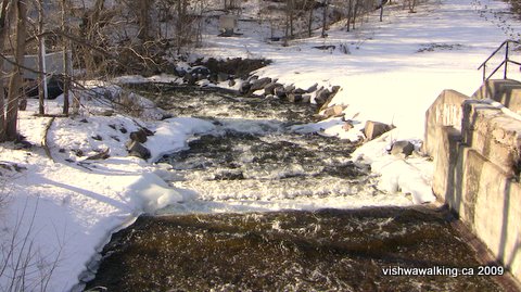
Millhaven Creek looking west,
standing on the the George Street bridge.
February 16, 2009
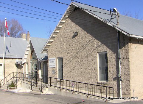
Sydenham municipal buildings and the North Frontenac Library.
Sydenham is well worth exploring. It's a mixture of upscale and downscale, with little houses on some of the sidestreets balancing the grander ones farther out. Some of the main street is pretty bland, but there are some interesting stores shuffled into the mix. The downtown streets meet at interesting angles.
February 16, 2009

A house on George Street in Sydenham. This photo was taken two days after Valentine's Day. The I Love You bear was having trouble staying upright after two days of forced air up its backside.
February 16, 2009
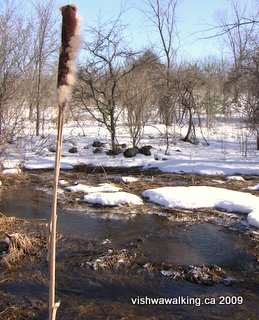
Once up Swizer Road from Portland Street in Sydenham, a pleasant rutted road leads north. Just before it reaches Alton Road it crosses over a little creek (left). A lone cattail stands guard over the scrubby marsh.
February 16, 2009
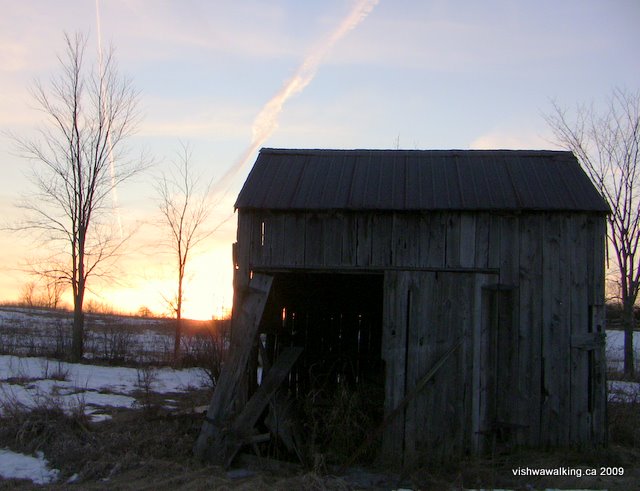

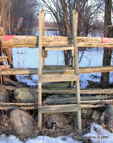
Several styles in this section make getting over fences easier. Note the trail triangle advising walkers to turn left. If you look closely, you'll see the yellow tip on the triangle, which means it's directing southbound walkers.
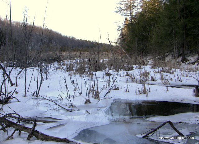
If
you take a short detour just where the trail leaves Freeman Road,
you'll dip sharply down into the fault to where the road crosses the
marshy lowlands. As you stand there, imagine the valley stretching at
least 100 kilometres to the south and north.
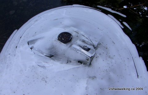
A boom box stuck in the ice
makes a weird anomaly at the
edge of the marsh.
Photos: February 16, 2009
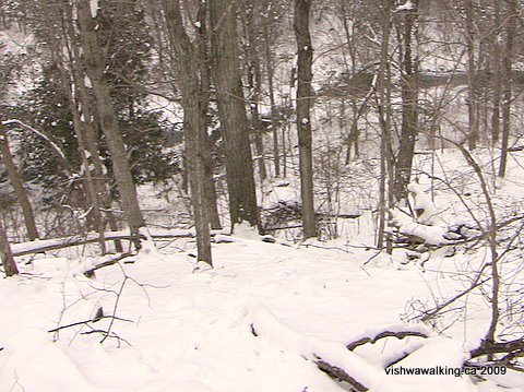
It's hard to get a good image of the sharp drop to the valley floor, especially on the drab day I ventured forth. However, the white bit in the foreground is virtually straight down. That's one of the channels of the creek winding through at the bottom of the valley.
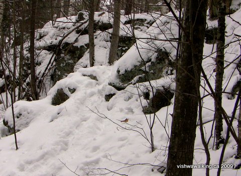 February 20, 2009
There
are several steep climbs along this stretch, either up rock cliffs or
over little gullies. This is a stretch that is not appropriate
for
little children and if you take older kids take extreme care. In area
like this in the winter it's hard to see what's underfoot. As I
mentioned elsewhere, my expedition poles were very handy on this walk.
February 20, 2009
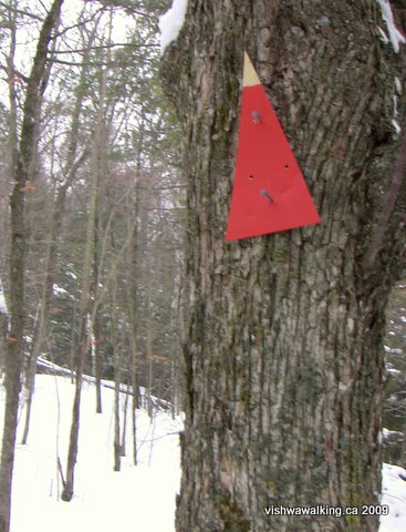
This
section of the trail is well marked. The yellow tips indicate that the
triangle is for southbound walkers. The different angles of the
triangles indicate which way the trail is heading.
Follow the triangles and you won't get turned around. You'd have to work to get lost on this bit of the trail.
Follow the triangles and you won't get turned around. You'd have to work to get lost on this bit of the trail.
February 20, 2009
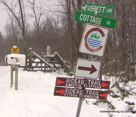
As
you reach the road and walk out toward Gould Lake Road, you'll come to
this juncture. Everett Lane leads to cottages on Knowlton Lake. Cottage
Road is the lane you've just come down. Ahead of you is Gould Lake
Road. Eight hundred metres from this spot, you'll be at the gates to
the Gould Lake Conservation Area.
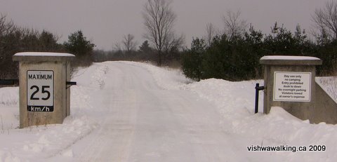
A
sign (out of the picture to the left) and these gates announce
the
entrance to Gould Lake Conservation Area. Shortly after you pass
through these gates, the trail angles off to the right.
Photos: February 20, 2009
Photos: February 20, 2009
4. Gould Lake
Conservation Area — See this separate page for description
and photos
5. Frontenac Park — See this separate page for description and photos
5. Frontenac Park — See this separate page for description and photos
Back to the top of this page
Back to the main Rideau Trail page
Home | Contact Us | Site Map
Page
created: February 20, 2009