About Us
Vishwawalking explained
 Ratings Explained
Vishwawalks
Day walks
Funky Places
Future walks
Food
Gear
Get Lost
Good reads
Links
Right to Ramble
Site map
Contact us
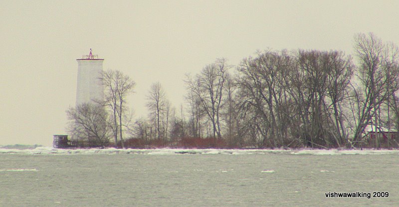
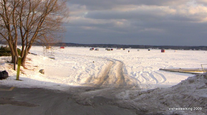
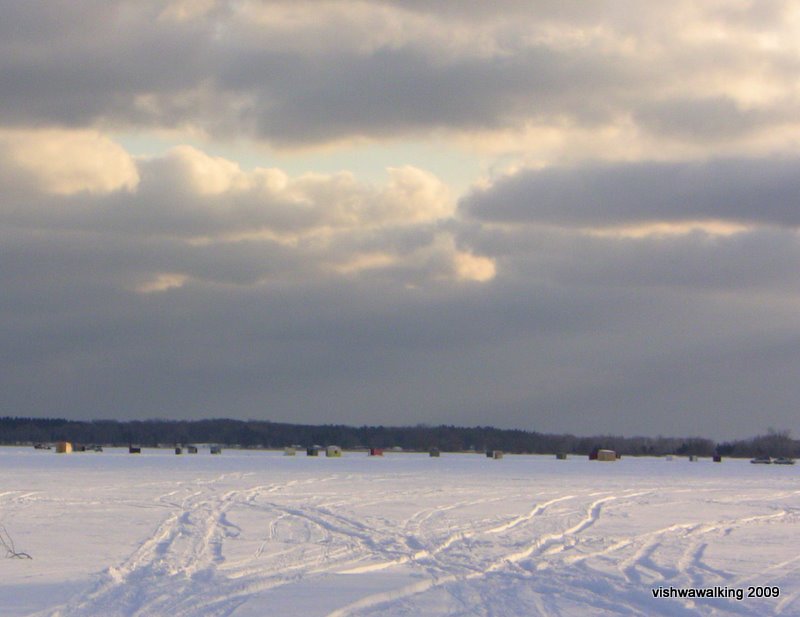
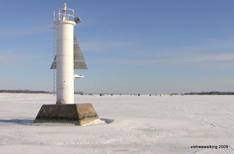
12 O'clock Point, Murray Canal. January 5, 2009
County Road #64
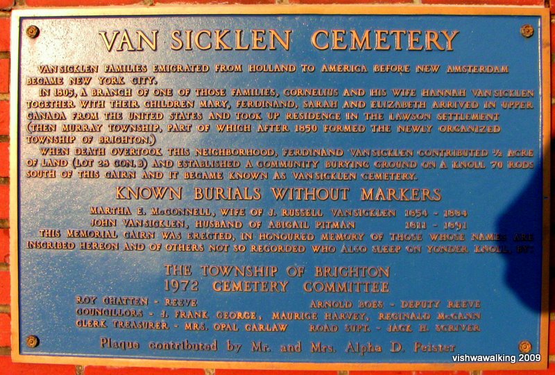
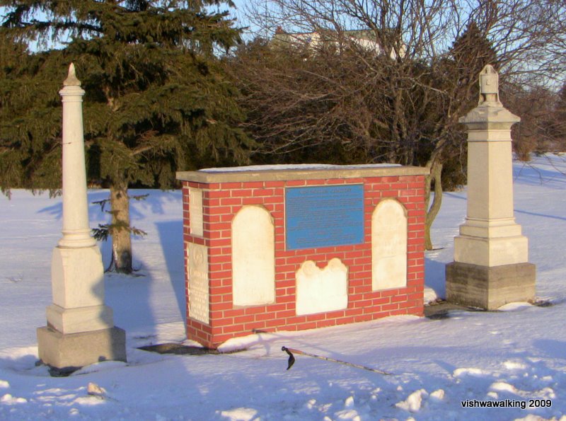
Van Sicklen
Cemetery
Butler Creek Trail
Gosport
Suburban development

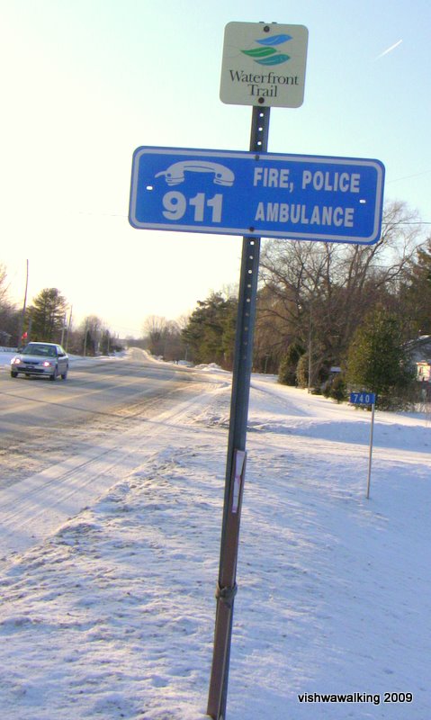
Sign near the lake at the bottom of Cedar Street, Brighton. February 12, 2009
Ontario Lakefront Trail
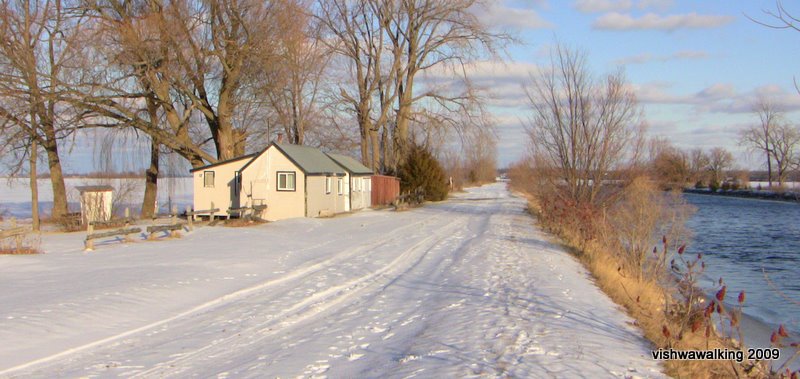
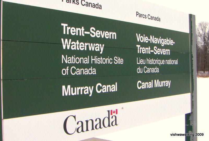
Murray Canal
January 8, 2009
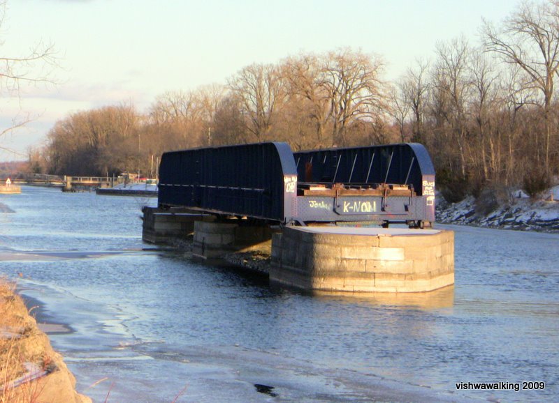
 The railroad swing bridge on the
Murray Canal.
The railroad swing bridge on the
Murray Canal.January 5, 2009
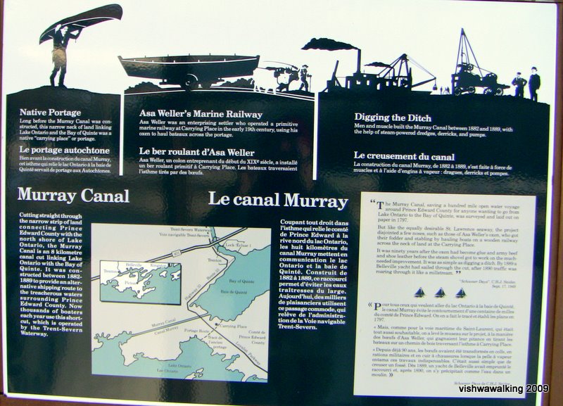
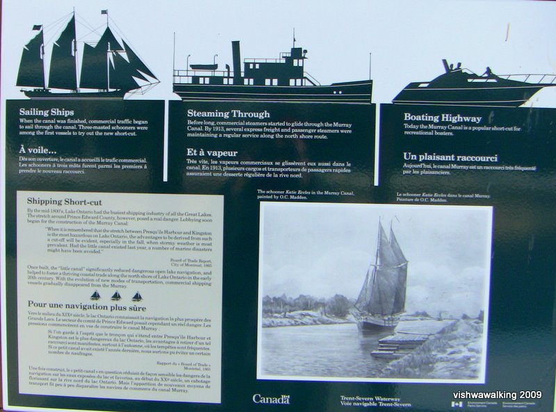
(Right click, select "view image" and zoom in to read the boards.)
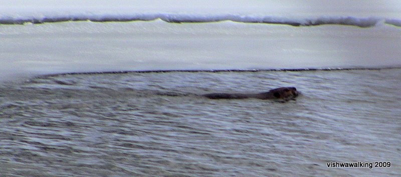
It looks like a cold swim for this beaver on the Murray Canal.
January 5, 2009
County Road #64
of Murray Canal. January 15, 2009
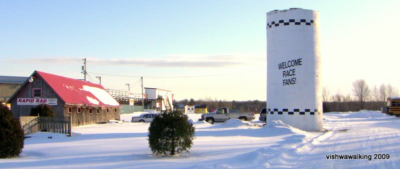
Above and left:
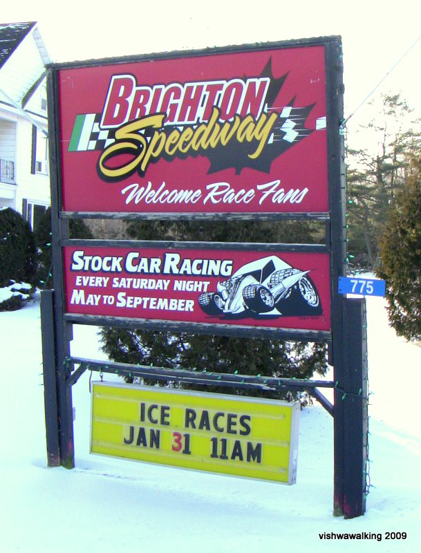
Brighton Speedway, south side of County Road #64.
January 15, 2009
January 15, 2009
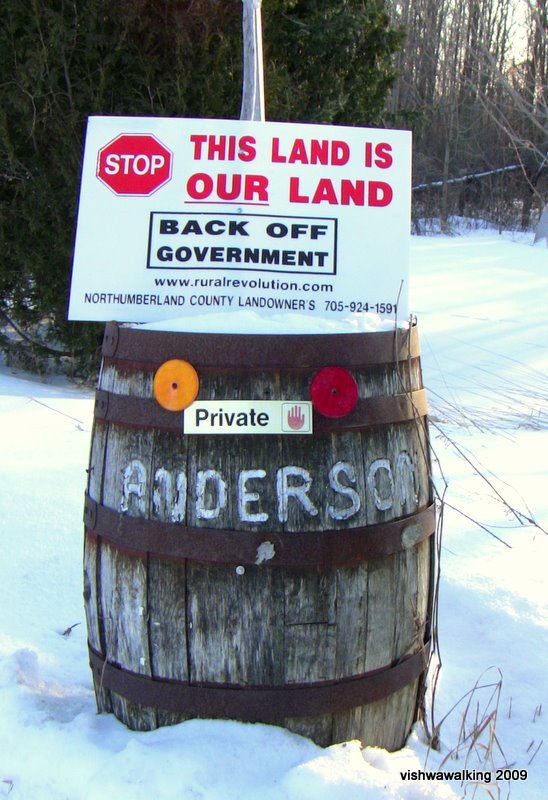 "Back
off Government" signs are relatively common to rural Ontario. They come
from a rather right-wing clutch of organizations representing
landowners who feel they have a right to do pretty well what they want
with their land and that government is interfering too much. Their rural revolution
website is rich with purple prose and bad grammar:
"Back
off Government" signs are relatively common to rural Ontario. They come
from a rather right-wing clutch of organizations representing
landowners who feel they have a right to do pretty well what they want
with their land and that government is interfering too much. Their rural revolution
website is rich with purple prose and bad grammar:
"Throughout human History there are eras when every society experiences the darkness of injustice and the long shadows of oppression blanket the landscape. During these periods, collective oppression supplants individual liberty; coercion, intimidation, and wrongdoing become the lawful exercise of authority, and the brightness of prosperity and freedom is but a dim reminder to a bountiful past. Collective security and bestowed privileges become the hands that prey upon the unsuspecting common people and enslave them by deceptively removing their freedom to own, use, and enjoy the fruits of their industry: their private property. It is only when common people rise up and shine the light of knowledge into the deep recesses and crevices of unlawful authority does prosperity reign once again.
Rural Ontario is now home to darkness and our voice is silent and muted within the bureaucratic halls of power in Queen's Park and Parliament Hill. However, our dense urban neighbors voice resonates and echo's with a majority of ignorance, clamoring to deprive rural Ontario of our natural and historic rights, while the urban environmentalist, politicians, bureaucrats, and academics covet, and thirst after our priceless property. What price shall we place upon our property? The cost is our freedom."
Check out the last paragraph:. "Majority of ignorance," the U.S. spelling of neigbour, "our dense voices" all in one fine mess of a sentence. The basic message is that those city folk just don't get it, tied to their government desk jobs like they are, eh? Thankfully most farmers and landowners around me are more sensible than this. January 15, 2009
Butler Creek Trail
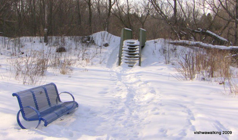
The Butler Creek Trail is a short respite from the Brighton suburbs. January 26, 2009
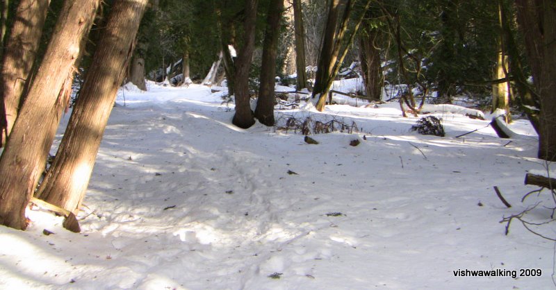

Butler Creek after prolonged rains and a thaw. Probably not a good time to walk the trail. February 12, 2009
Gosport
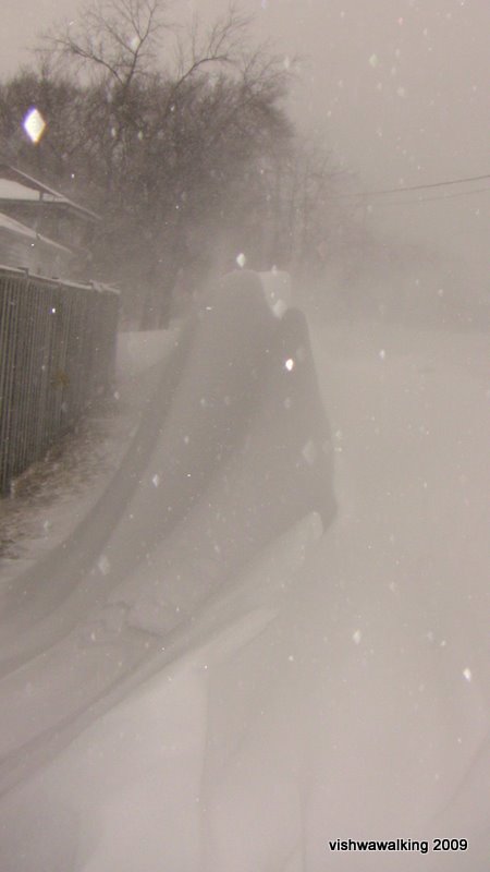
A snowdrift creates a peaked "mountain" beside a fence on one of Gosport's side streets. This is when when walkers have to check their sanity. Cold snow blowing straight at you and low visibility: tell me again, why am I out here? January 29, 2009
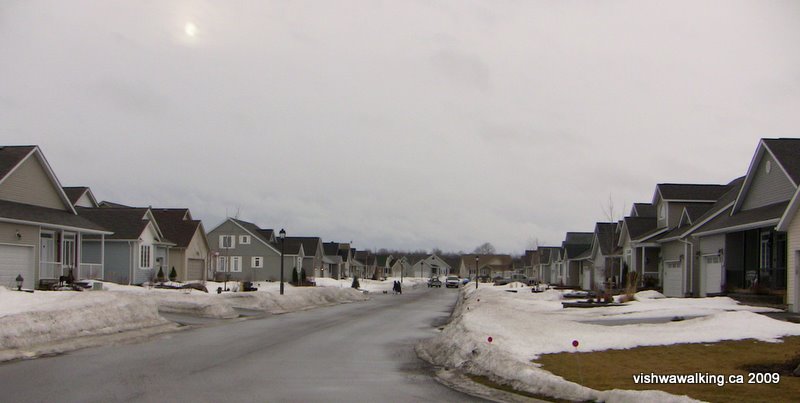
Suburban development
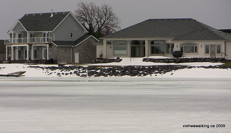 To
the west of Gosport and in the south part of the town of Brighton, the
natural marshland has been eaten up by development. A large number of
retirees have moved to this area to enjoy waterfront living. The new
developments run in little clusters along the waterfront and up toward
the town. It's a depressing area to walk in. There is still lots of
evidence of the marshlands that have been filled and paved over. Many
of the houses are grossly oversize. They block the waterfront from
public use
from the west end of Gosport to Ontario Street, not far from Presqu'ile
Park. The area cries out for responsible urban planners.
To
the west of Gosport and in the south part of the town of Brighton, the
natural marshland has been eaten up by development. A large number of
retirees have moved to this area to enjoy waterfront living. The new
developments run in little clusters along the waterfront and up toward
the town. It's a depressing area to walk in. There is still lots of
evidence of the marshlands that have been filled and paved over. Many
of the houses are grossly oversize. They block the waterfront from
public use
from the west end of Gosport to Ontario Street, not far from Presqu'ile
Park. The area cries out for responsible urban planners.These houses (left), just off Harbour Street are part of a development dubbed Presqu'ile Landing. At the developer's site, you can see pictures (all taken during the summer) of what they conceive of paradise. "Welcome to Waterfront Living. It's a world of vitality and variety only an hour from Toronto, by car or train. 55 miles north of Rochester, New York by boat" reads the jumpy promo material. It's good to know where Brighton is: 55 miles north pf Rochester, of course. Many of the promo photos feature Presqu'ile Park in the background. That's because they've wiped out most of the natural surroundings everywhere else.
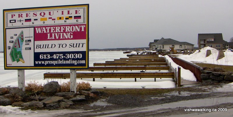
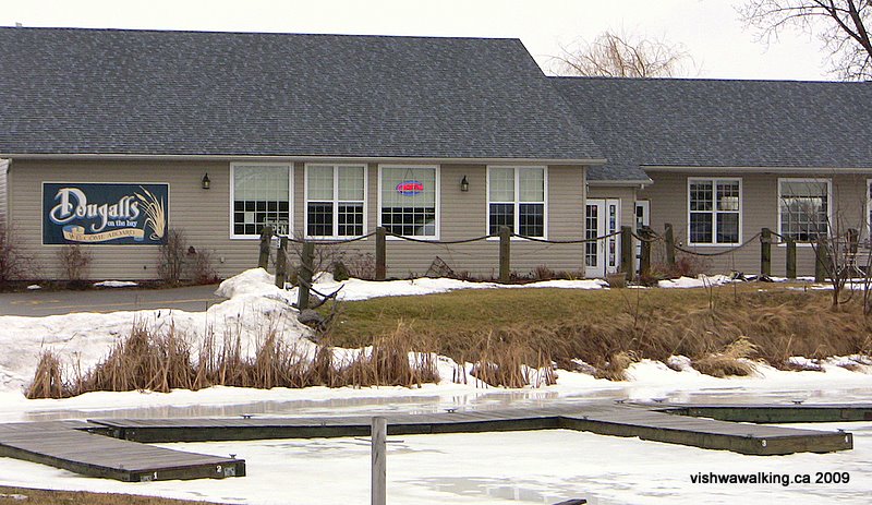
Right, the docks that will be home to many boats in the summer. Below, the Marina, slightly to the east of the docks, on Harbour Street. February 12, 2009
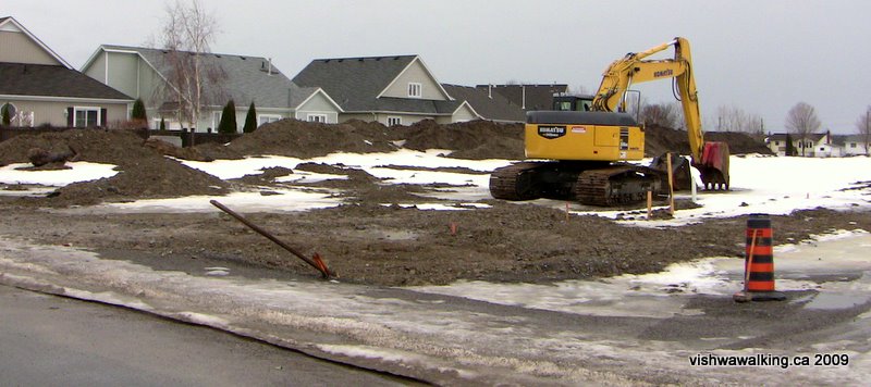
Below, unfinished work in the same development. Huge piles of dirt lie around ready to build the marshy land up to standard. February 12, 2009
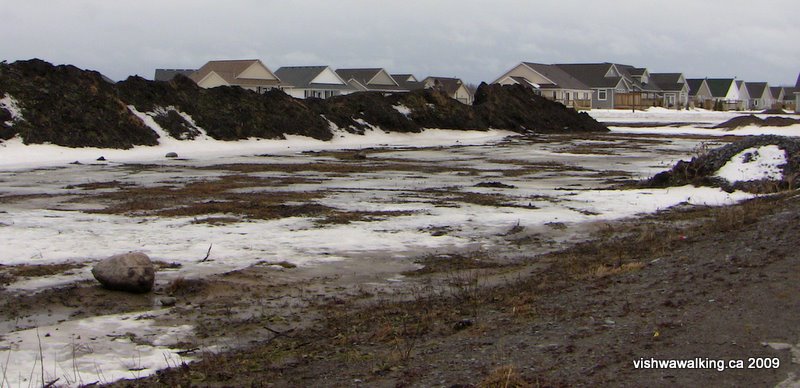
Above: Looking southwest from the unopened part of Raglan street, with piles of dirt ready to fill in the soggy earth.
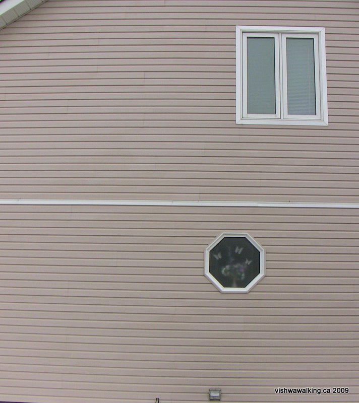
Right: Different shaped windows provide relief in otherwise drab walls. February 12, 2009
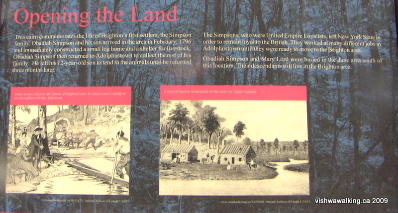
This sign is near the entrance to Presqu'ile Park. Some argue that the first settlers were not British loyalists, but rather Scottish immigrants.
Back to the top of this page
Updated: February 12, 2009